

We had a big day today, 339 miles all up, with plenty of stops and new people to meet.
Our day began with brekkie in our motel. A not-so-great buffet. But it did the trick and we were ready at 5 minutes to meeting time. So we went up to the servo meeting place to find Dave and Jack, but no J&K. Not like them to be late - except yesterday. Turned out they were held up by a herd of cattle being driven across the road in from their motel.
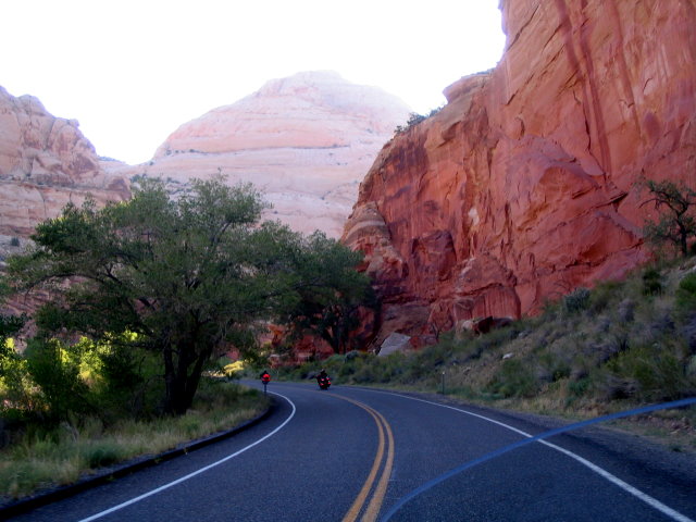
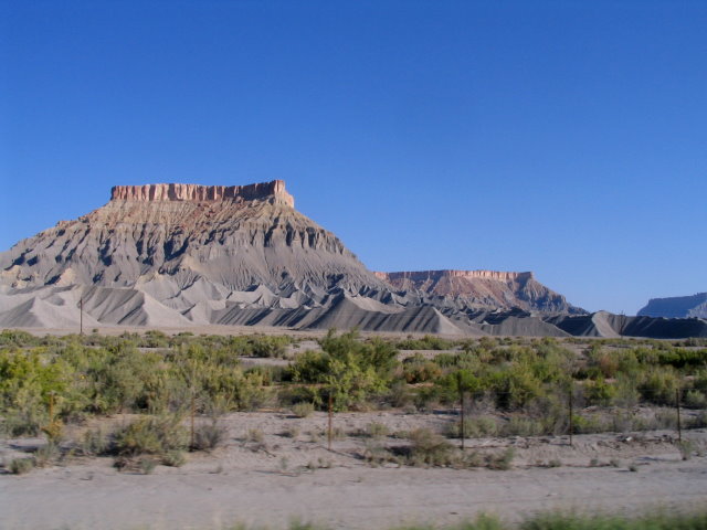
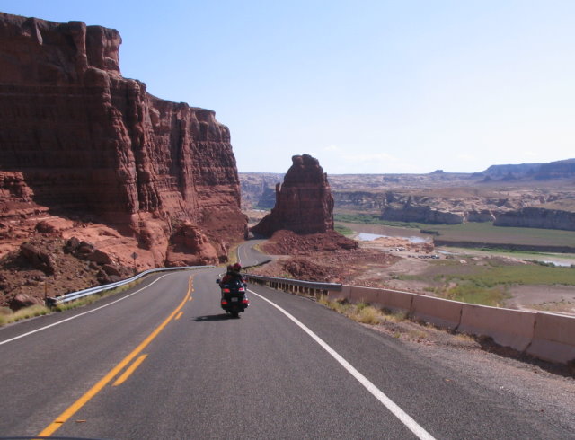
Under way and we headed for Hanksville on Hwy 24. We were travelling through Capitol Reef National Park. Once again we were riding through high red sandstone canyons. Then it opened out to several grey muddy-looking hills that would seem to melt under the first rainstorm, but have been like they are for a long time. Not long after we went by some large mesas with their eroded parts looking like a mining site with large heaps of slag. But it is all natural.
We soon got to Hanksville where the servo office is set in to the rock. Even the bathrooms were carved out of the rock, but finished off quite modern and clean. Amazing. Dave was to leave us here and head north for his home in Colorado, but after checking his GPS he worked out a way to stay with us for the next section then turn off about 100 miles later. It meant a 600 mile road home from here, but he is on a GoldWing, so no worries.
So we all headed out on Hwy 95 to the south and toward Glen Canyon National
Park. After a bit of flat ground we came into the canyon. How can I
describe it? Take Australia's Kings Canyon, multiply it by hundreds, add a
river or two and you are getting close. Having travelled a lot in our
Outback, I'm pretty used to deserts and canyons, but the sheer vastness and
stark beauty of this area really took my breath away. Literally too, as we
were over 6000feet up.
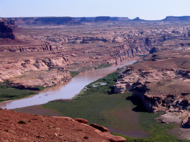
A stop overlooking where the Dirty Devil River meets the Colorado River and
begins to form Lake Powell gave us a good overview of the scale.
Then it was down to the river crossings and head up the other side, then follow the Fry Canyon and Natural Bridges National Monument areas. Just cruising with heads swinging side to side taking in the views.
When we reached the turn-off to Hwy 261, it was time for Dave to leave us and head further east then angle back north to his home.
Dave, we all thank you for taking the time to spend with us and showing us places and roads we probably would not have seen otherwise. We are truly grateful.
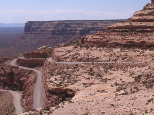
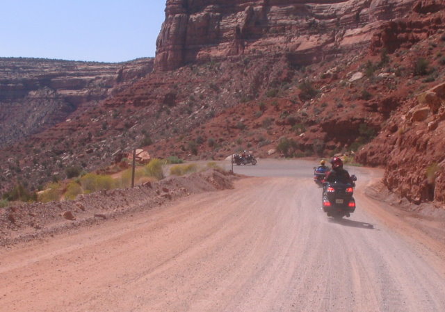
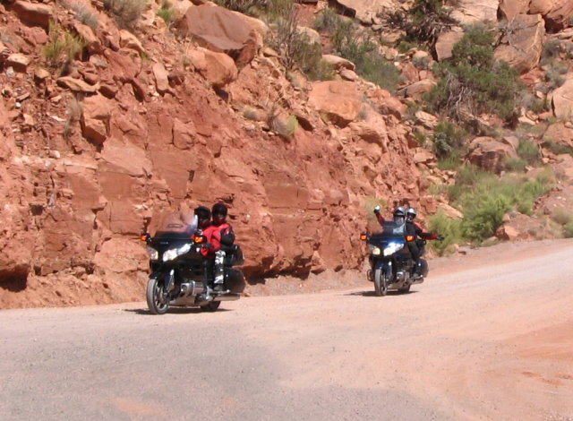
So the three bikes headed south for 23 miles to the Moki Dugway, but we were not alone for long. Now the Moki Dugway is a very special piece of road. We were travelling on relatively flat ground, but had hints of large canyons in the distance. Then we came across the dugway, where the road simply goes over a 1000ft drop-off and twists and turns down the cliff face to the floor below. The first sharp corner down has a lookout and waiting there were two shiny GoldWings. Deane, from Albuquerque, and his friend Dennis had ridden up the Dugway to meet us and show us the sights on the way to Page. Deane, we had met before when he and Jack came over to Australia, but Dennis was a new meeting and a surprise too. Dennis has a condition that requires him to be constantly connected to oxygen. So he tows a trailer with an oxygen generator on board and tubes piping it to the rider. Great to see someone not letting adversity get in the way of riding.
Down the Moki Dugway we went - very carefully - only the corners were paved. Then out along the flat valley floor and stopped to look back at the cliff face. The road we were just on was almost impossible to see in the vastness of the ragged cliff face.
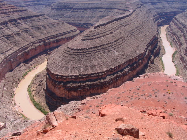
A little further along we turned off for Goosenecks Park. A fascinating little park which overlooks where the San Juan River does some very tight esses in it's path. The river originally flowed across a flat plain and so meandered a lot. Then the land was lifted over millennia and the crooked river cut into the ground, causing canyons a couple of hundred feet deep but still on the meandering course.
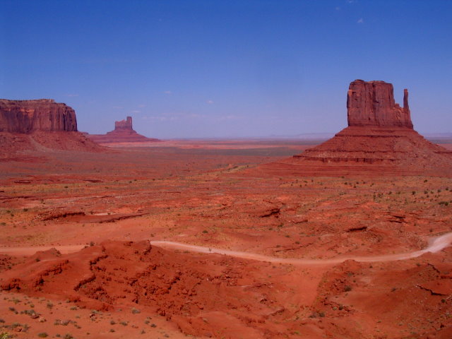
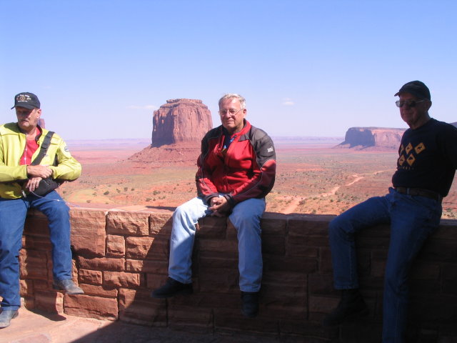
After that we went to Mexican Hat, so named after a local rock formation, for lunch and fuel. We had much more to see in the afternoon as our route took us through the magnificent Monument Valley, scene of many a Western movie. The towering mesas and buttes just jut out of what is pretty much desert country and it is all on the Navajo Indian reservation. We called in to the visitors centre, set on a ridge overlooking several of the structures. Naturally, they had a lot of Indian-made handcrafts on sale, but surprisingly a whole corner dedicated to John Wayne - touted, it seems as a legend and hero of the Wild West. I found it a bit strange to be holding an actor in such high regard. OK, he starred in some great action movies, but this particular souvenir shop seemed to make out he actually did all those things for real. So we left the John Wayne souvenirs alone, but did buy Charleen a nice piece of Indian silverware.
The rest of the afternoon was a long, hot 140 mile run through the Navajo reservation to Page, Arizona, our stop for the night We all went to our various accommodations and met later for dinner. All in all a fascinating day, with a very high WOW factor rating.
Here's some pics:
|
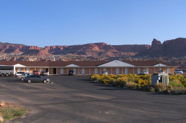
| Our Torrey Motel, we had the room on the far right. |
|
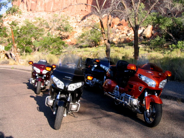
| Four nice Wings |
|
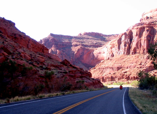
| Through the canyons of Capitol Reef NP |
|
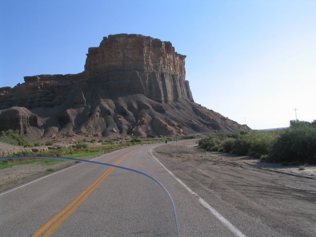
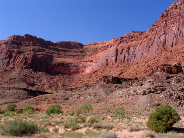
| Giant butte with it's piles of eroded hills. Almost looks man-made. |
|
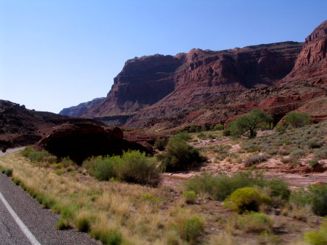
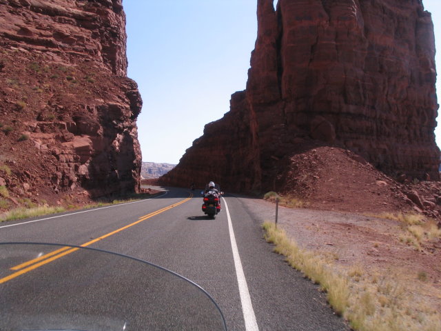
| We went close to this one |
|
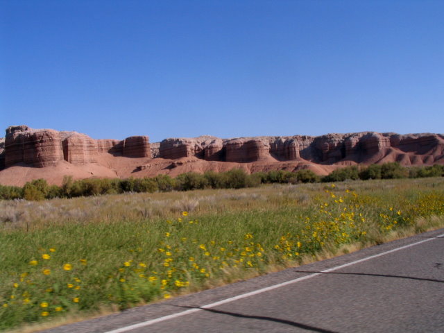
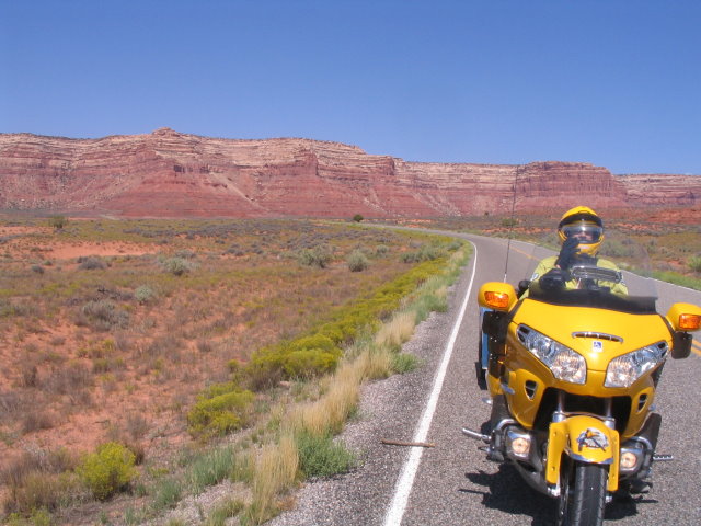
| Red layering starting to re-appear - The yellow daisies are everywhere, putting a nice border on the roads |
|
| Down into the many canyons of Glen Canyon NP |
|
| It goes for mile after mile |
|
| and Charleen couldn't stop taking pictures |
|
| so enjoy... |
|
|
|
| From the overlook looking down on the Colorado River above Lake Powell |
|
| Descending from the overlook |
|
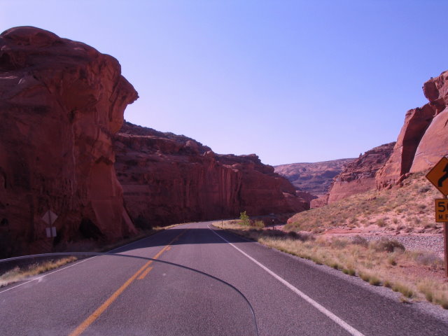
| Road is carved through the sandstone |
|
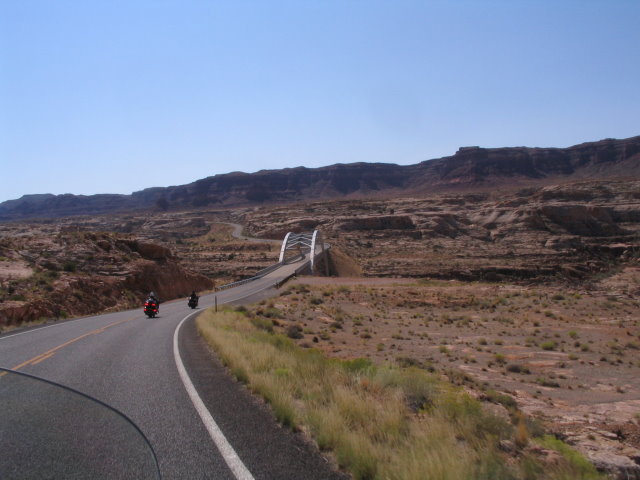
| Bridge over the Colorado |
|
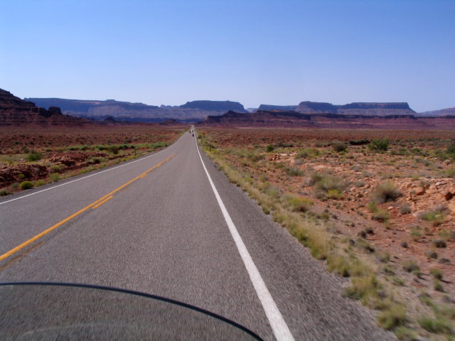
| Then we headed across the plains through Fly Canyon and Natural Bridges |
|
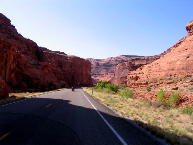
| around huge striped cliffs |
|
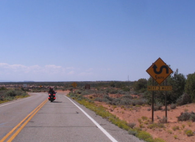
| Approaching Moki Dugway the sign is ominous |
|
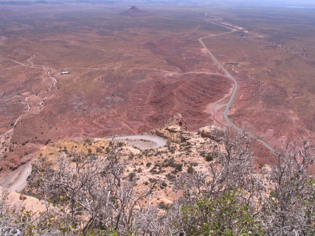
| The 1000ft drop |
|
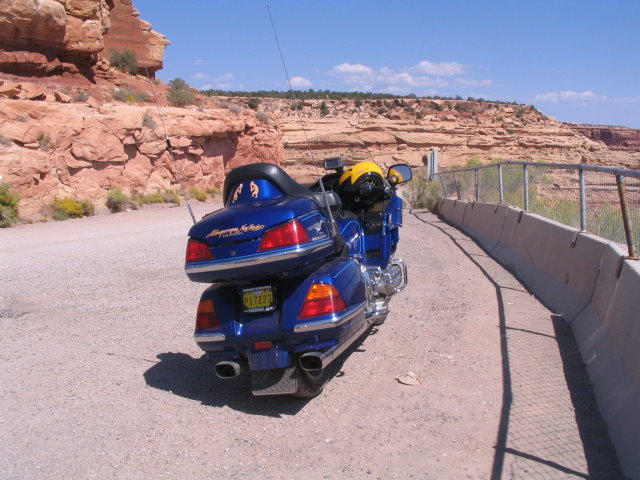
| Deane's bike |
|
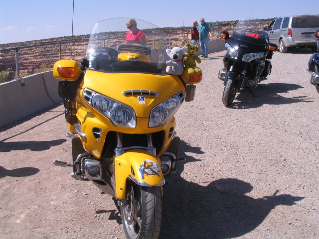
| Dennis's. The bears check it out |
|
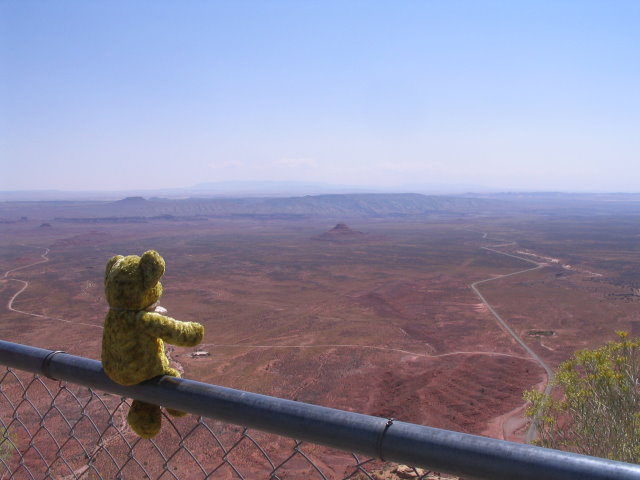
| Gold Bear surveys the valley below |
|
| Se we start down the Dugway |
|
| Jack is down there taking our photo |
|
| This is it |
|
| Looking back to the cliff face you cannot make out the Moki Dugway, but it goes up the left side. See? |
|
| Goosenecks State Park where the San Juan river carved its tortuous way. |
|
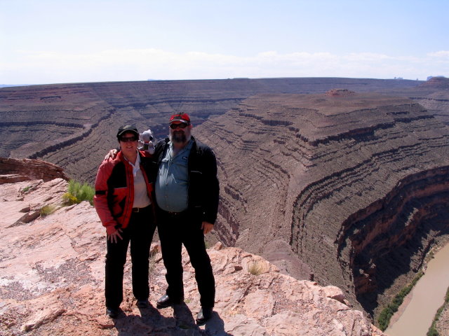
| K&J |
|
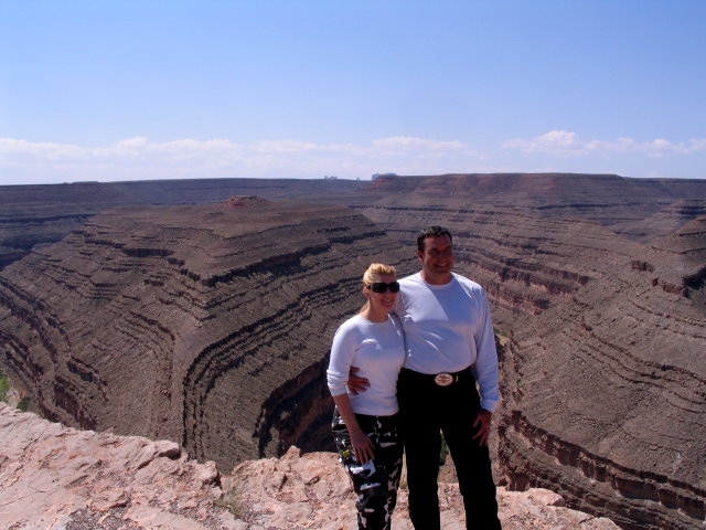
| C&C with MM |
|
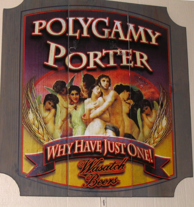
| Only in Utah! Nice beer though. |
|
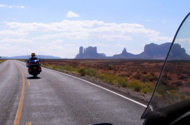
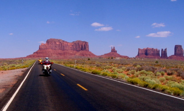
| Riding into Monument Valley |
|
| Jack and Dennis follow with this spectacular backdrop |
|
| From the balcony of the Visitor Centre |
|
| Dennis, Jack, Deane |
|
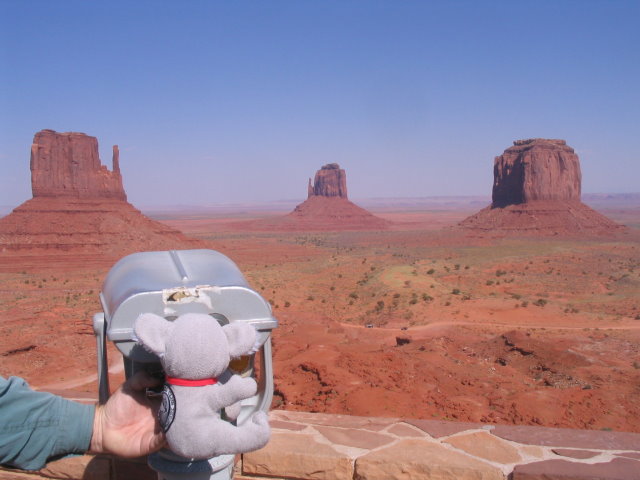
| Stupid thing. Waste of money. Can't see a damned thing. |